Morgan Powell · 1 September 2026
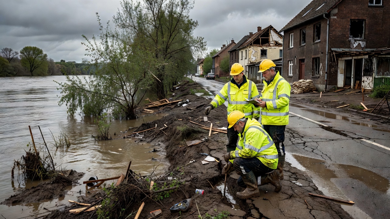
Following unprecedented rainfall in the region last week, experts from the Uferhain Riverside Ecology project have initiated a comprehensive assessment of flood damage along the riverbanks. The flooding has affected several kilometers of the waterway, leading to concerns about erosion, habitat disruption, and long-term ecological effects. The team is employing both ground surveys and aerial drone footage to gather detailed data on the impacted areas.
Assessment of Physical Damage
Survey teams have documented extensive erosion in multiple sections of the riverbank. Soil loss is estimated at over 200 cubic meters in the most affected areas. Infrastructure such as footpaths, bridges, and observation points have also sustained damage, with some sections completely washed away. Water levels remained elevated for several days, exacerbating the impact on the natural landscape. Measurements indicate that the floodwaters reached heights not seen in over a decade, prompting calls for improved flood defenses in vulnerable spots. The assessment includes soil sampling and mapping of altered river courses to understand the full scope of changes. Additional findings reveal that debris accumulation has blocked some tributaries, potentially leading to secondary flooding risks. Engineers are evaluating the stability of retaining walls and natural barriers that were tested during the event.
Ecological Consequences and Recovery
The flood has disrupted local wildlife habitats, particularly for bird species and aquatic life that rely on stable riverbank conditions. Vegetation along the banks has been stripped in places, potentially affecting biodiversity and food chains. However, some experts note that periodic flooding can be beneficial for nutrient distribution in the ecosystem, aiding in the renewal of soil fertility. Recovery efforts will focus on replanting native species and reinforcing banks with natural materials like logs and rocks to prevent further erosion. Monitoring will continue over the next months to track the resilience of the riverside ecology. Community volunteers are being recruited to assist in cleanup operations and data collection. Overall, the assessment highlights the need for ongoing vigilance and adaptive management strategies to protect the Uferhain river system from future extreme weather events. Data collected will inform policy recommendations for sustainable development in the area, ensuring that both human activities and natural processes are balanced effectively.